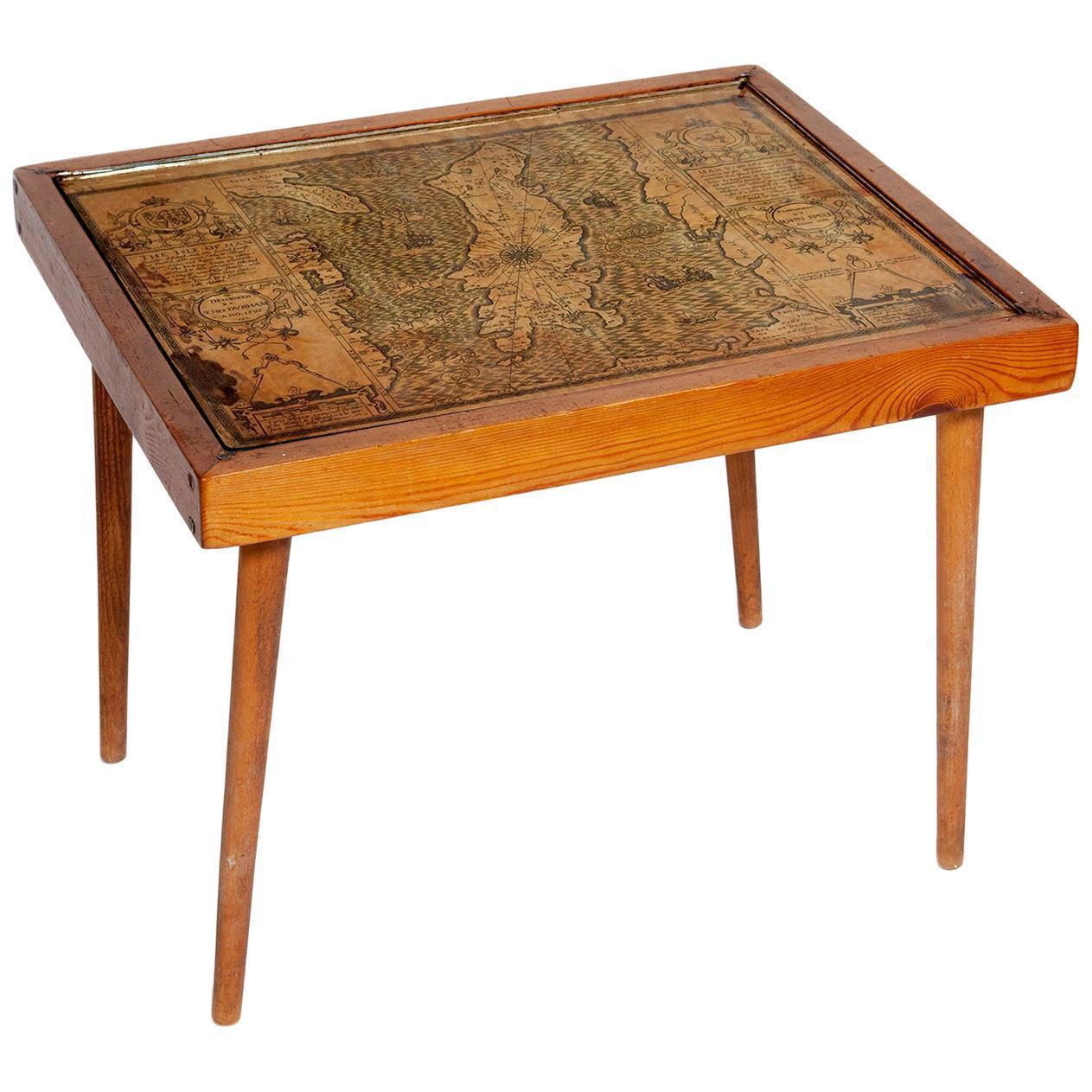
Table Low Sofa Vintage 1950s Map Isle of Man John Speed 1610 Thomas Durham 1595
11534
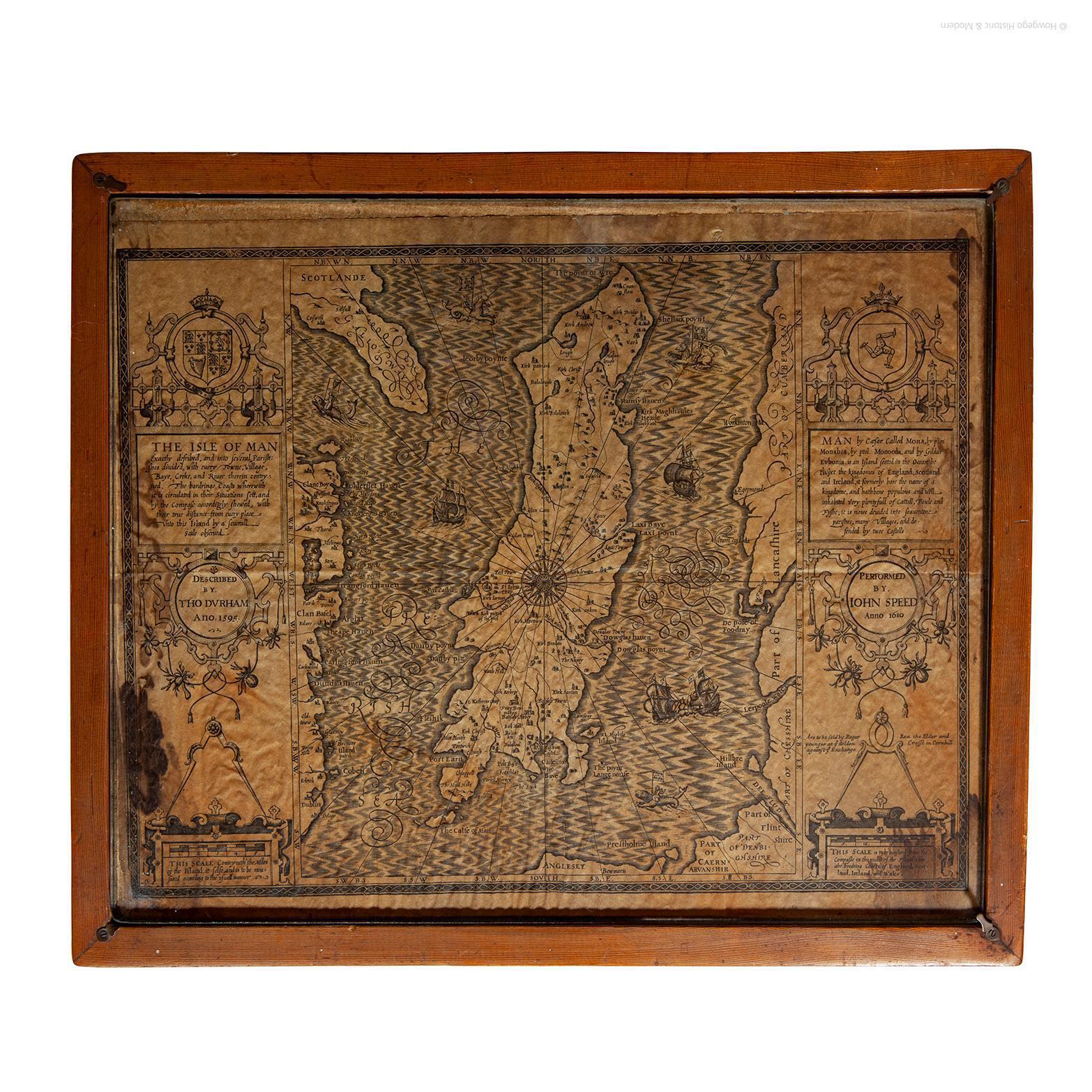
- The juxtaposition of modern design and this ancient map create a unique small table and conversation piece - This is the first map featuring the Isle of Man on its own.
- It is also the first map of the Island based on an actual survey, undertaken by Thomas Durham 1595 and was first published by Speed in 1605-1611 and reprinted many times over the next century. This is the second state or print from 1610.
The map is inset within a fruitwood box frame with a glass top. Supported by tapering stick legs.
The map is based on a survey (and presumably a MS map) by Thomas Durham, of whom nothing is known other that he was paid by Sir Thomas Gerrard to make a survey of the Island. This survey, almost certainly for military purposes, arose from the disputed possession of the Island during which time Elizabeth had assumed control in order to prevent the Scots or the Spanish from using the Island as a base.
Speed had used the Durham Map in his slightly earlier 4-sheet wall map showing invasions and battles of c1603/4 [ref: Shirley #261] - there are some differences from this 1605/10 map - Port Eran (rather than Earn on 1605);Knockalo point (= Contrary Hd) not on 1605;Spalbrecke shown west of Calf rather than E as on 1605/10. Thus it is possible that the Durham Map had even more detail than Speed used in his derived version.
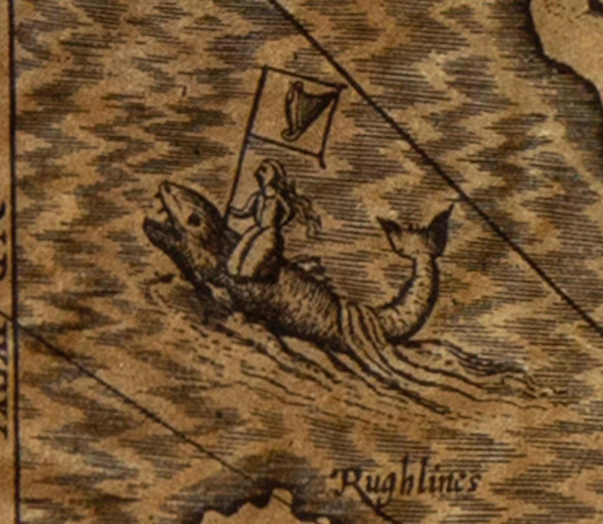
In sea are four mythical beasts with riders: to NW of Island Unicorn with Scottish flag, to NE Lion with English flag; N Irish Whale with Irish flag; to S dragon? with French? flag; In Irish sea to E of Island two ships are fighting; all these were descriptive of strained relationship between England and Scotland prior to accession of James.
The map first appeared in a collection of 67 maps prepared by John Speed of the 'best known and most popular of English county maps' derived from the surveys of John Norden and Christopher Saxton excepting the Isle of Wight by William White and Isle of Man by Thomas Durham.
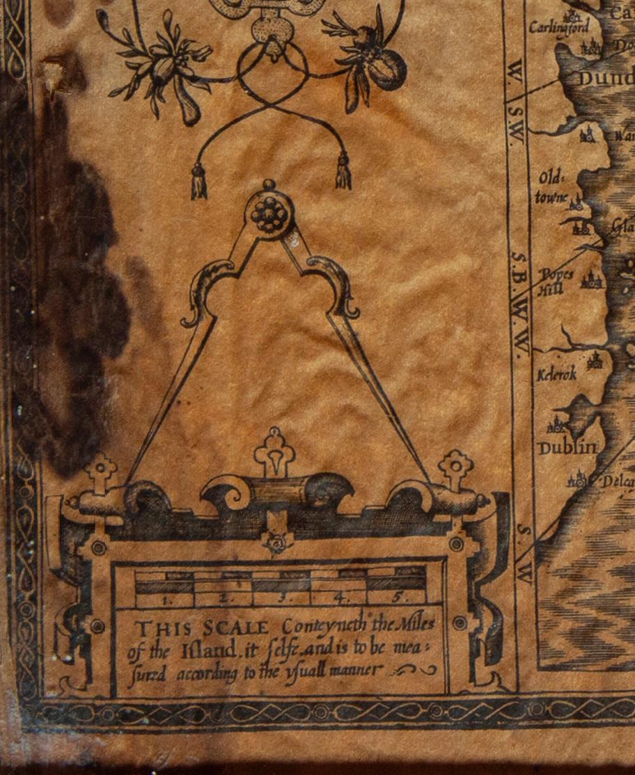
Some discolouration, fading and staining to the map.
Measures: Height 42cm Width 51.4cm Depth 42cm.
17th Century
1610
Paper
England
Designers
Mid-Century Modern (Of the period)
GOOD. Wear consistent with age and use.
1


 by Thomas Durham, of whom nothing is known other that he was paid by Sir Thomas Gerrard to make a survey of the Island. This survey, almost certainly for military purposes, arose from the disputed possession of the Island during which time Elizabeth had assumed control in order to prevent the Scots or the Spanish from using the Island as a base.Speed had used the Durham Map in his slightly earlier 4-sheet wall map showing invasions and battles of c1603/4 [ref: Shirley #261] - there are some differences from this 1605/10 map - Port Eran (rather than Earn on 1605);Knockalo point (= Contrary Hd) not on 1605;Spalbrecke shown west of Calf rather than E as on 1605/10. Thus it is possible that the Durham Map had even more detail than Speed used in his derived version.In sea are four mythical beasts with riders: to NW of Island Unicorn with Scottish flag, to NE Lion with English flag; N Irish Whale with Irish flag; to S dragon? with French? flag; In Irish sea to E of Island two ships are fighting; all these were descriptive of strained relationship between England and Scotland prior to accession of James.The map first appeared in a collection of 67 maps prepared by John Speed of the 'best known and most popular of English county maps' derived from the surveys of John Norden and Christopher Saxton excepting the Isle of Wight by William White and Isle of Man by Thomas Durham.Some discolouration, fading and staining to the map.Measures: Height 42cm Width 51.4cm Depth 42cm.)